Because they mix forms and ecological functions, estuaries are never just one thing. They sit where seawater, freshwater, and land blend together. Often, estuaries thrive with life; just as often, they exist in precarious circumstances.
This description holds true for the Padilla Bay National Estuarine Research Reserve where I visited recently and that is subject to The Field Trip this week. Read on!
Padilla Bay
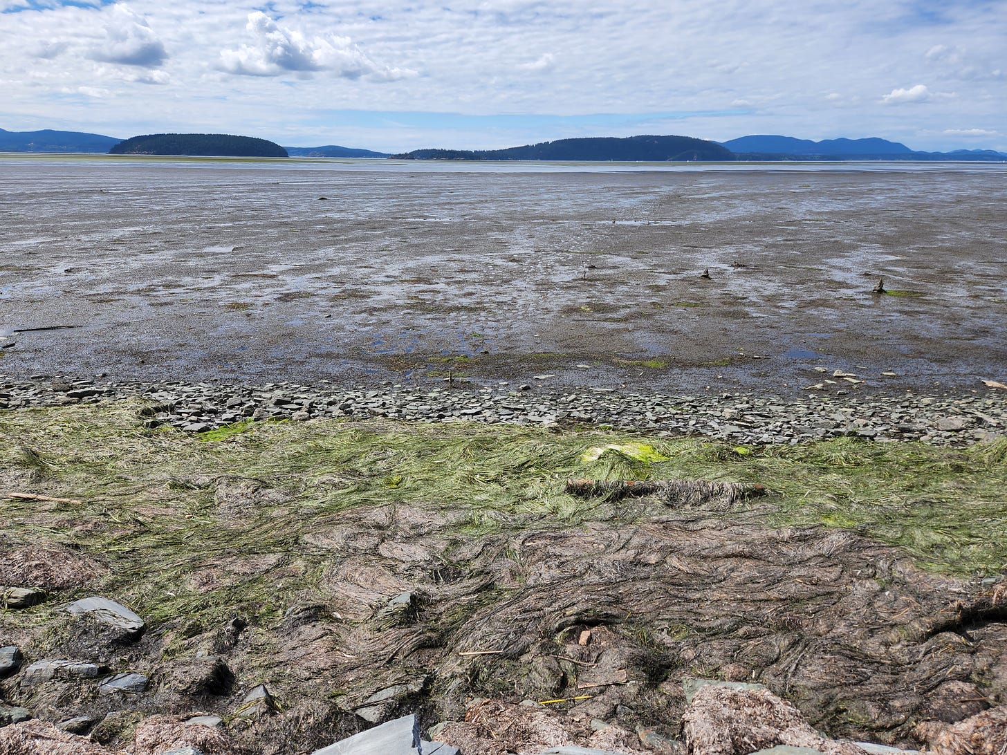
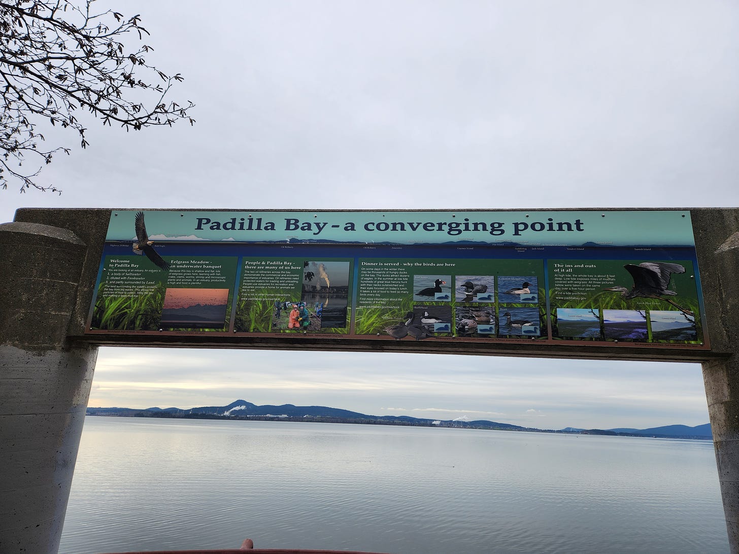
Padilla1 Bay is an intertidal zone. That means low tides reveal mudflats and high tides never create deep water. Its ecological highlight is an 8,000-acre eelgrass meadow, a rich habitat for salmon, crab, and numerous other species. It’s the largest such meadow in the contiguous United States and a good repository of blue carbon. In addition, Padilla Bay along with the larger Skagit River and Samish River Deltas attract an abundance of waterfowl and raptors because of its suitable habitat. One recent aerial survey, I was told, counted half a million ducks in the bay.
This sort of ecological resource deserves attention and protection, but not everyone has always thought so.
Dreaming of Development
Shallow bays inspire development dreams in quantities that rival the fish and bird abundance. Both farmers and urban developers have sought to reclaim tidelands like those in Padilla Bay from the sea. Turning them into property was a prelude to economic development and certain prosperity, according to many dream. And those dreams evolved.
At Padilla Bay, surrounded by rich farmland, the first thoughts turned to agriculture. Diking wetlands had been ongoing from the earliest white settlements here in the 1860s. But the bay presented a bigger job and one that proved more extensive and expensive than feasible in the early 20th century. Commercial exploitation of the sea held promise for oyster farmers, but the water quality did not quite meet the necessary standards.
Soon after World War II grand visions of filling in the bay and creating a giant industrial park excited economic boosters. Then came a blended vision of dredging and filling, creating housing where you could sail to your home. Think of it: Venice in the Salish Sea!
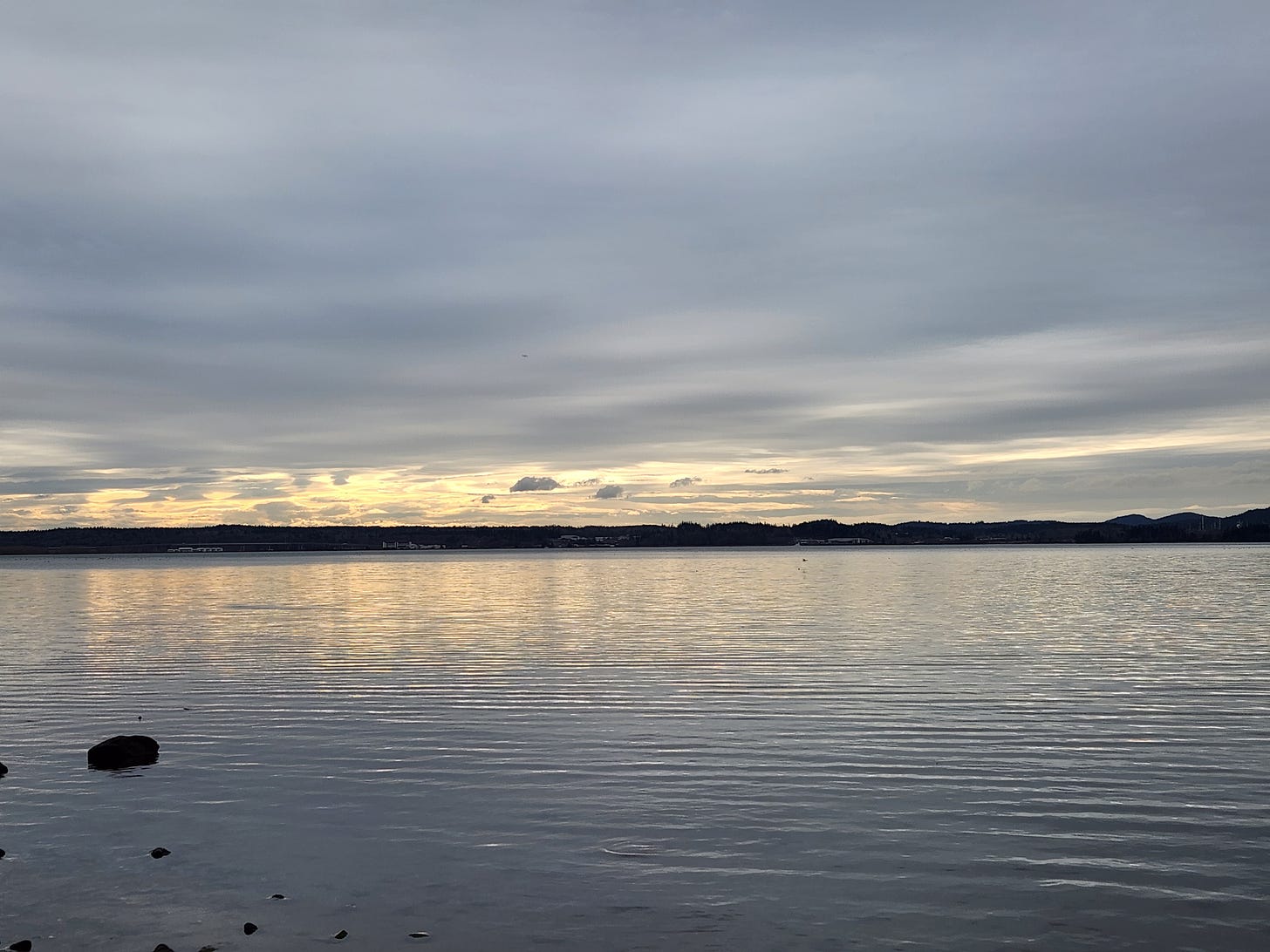
The audacity of these dreams reminds us that seeing what might be sometimes obscures what is. Standing on a dike or on the shore gazing west across Padilla Bay I’m glad I see water and not Amazon warehouses.
Changing Course
When these more extensive transformations were incubating in developers’ minds, scientists, environmentalists, and politicians went to work. They recognized that coastal areas needed better planning and protecting.
In Washington, the state legislature passed the Shoreline Management Act of 1971. The next year, Congress passed the Coastal Zone Management Act. Both laws included lengthy statements about the importance of shorelines and the value of planning for them lest haphazard development cause further harm. However, sometimes lawmakers make conflicting directives, such as when Congress stated in the CZMA that national policy was “to preserve, protect, develop, and where possible, to restore or enhance, the resources of the Nation’s coastal zone for this and succeeding generations.”
So many verbs; not all compatible ones!
The requirements and procedures of both laws could have been stricter, but they were first efforts to think more deliberately about the place of estuaries and their survival amid population growth and technological change.
National Estuarine Research Reserves
Buried deep in the Coastal Zone Management, Congress established the National Estuarine Research Reserve (NERR) System. The legislation provided money to states if they established reserves that were representative sites, if the states protected them, and if they could enhance public awareness of coastal ecosystems.
After statewide alternatives were discussed, the Padilla Bay National Estuarine Research Reserve was established in 1980.
Like all NERRs, Padilla Bay receives its funding through the National Oceanic and Atmospheric Administration. And like all reserves, the one at Padilla Bay divides its attention into three main areas: stewardship, research, and education (which includes training for local governments officials).
This multipronged mission mimics the diverse ways estuaries work.
Recently, I visited the reserve to find out more about its place in the larger community – human and beyond. Susan Wood, Education Coordinator at the reserve, showed me around and gave me a better sense of the place than I could have gotten from research online and random wandering around the grounds.
From Farm to Interpretive Center
When Washington searched for options for an estuarine reserve, Padilla Bay rose as the best one. The history of the bay complicated things, however. Nearly 1,800 separate private property parcels were vested in the bay, lingering reminders of how tidelands were once envisioned as property for individuals and not the common good.
Although the reserve exceeds 11,000 acres in the estuary, its headquarters occupy an old dairy farm once held by the Breazeales. The family arrived in the area in 1901 (or 1897, sources differ). A daughter, Edna Breazeale, taught high school English at Roosevelt High School in Seattle and returned to the shores of Padilla Bay when she retired, joining her brothers who operated the farm. Edna and her brothers, Marcellus and Fred, led the charge against the 9,000-acre industrial park proposed to replace Padilla Bay.
Edna continued her civic work to protect the eelgrass of Padilla Bay. Two years after the reserve was established, groundbreaking occurred for the Breazeale Interpretive Center. She once said,
There are so few places anymore where children can go and just be free and learn about things. We felt there ought to be some place that wasn’t just all people and houses.
The Education Coordinator told me that 8,000 kids come through the reserve every year, clearly showing the hopes of the Breazeales continue to be realized.
The Grounds
At Padilla Bay, visitors can visit an aquarium for free and wander a small loop through meadows and woods or walk down to the beach. After speaking for nearly an hour with Susan Wood, I experienced all those parts of this place – a great way to top off the day.

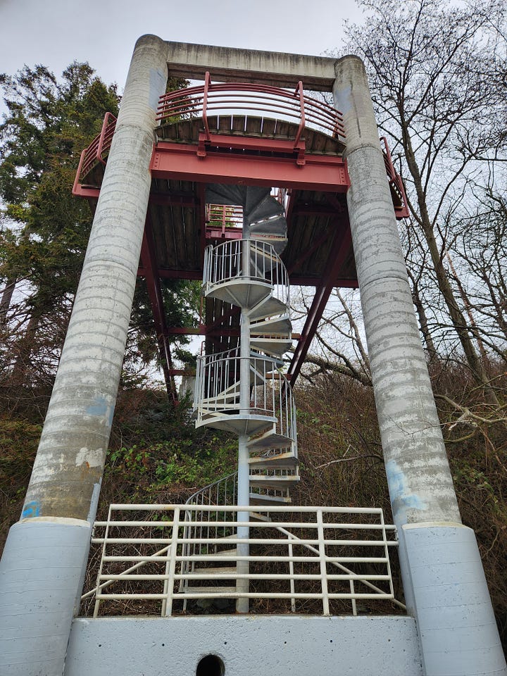
A short pathway took me to the shore, after passing under the road through a tunnel and winding down a spiral staircase. Gulls flew and brants swam in front of me. I observed the refineries that remind me of the petro-civilization I’m part of. Although I mostly consider these an eyesore, I’ve come to think of them as a useful reminder and am glad they aren’t hidden, for hidden costs become forgotten.
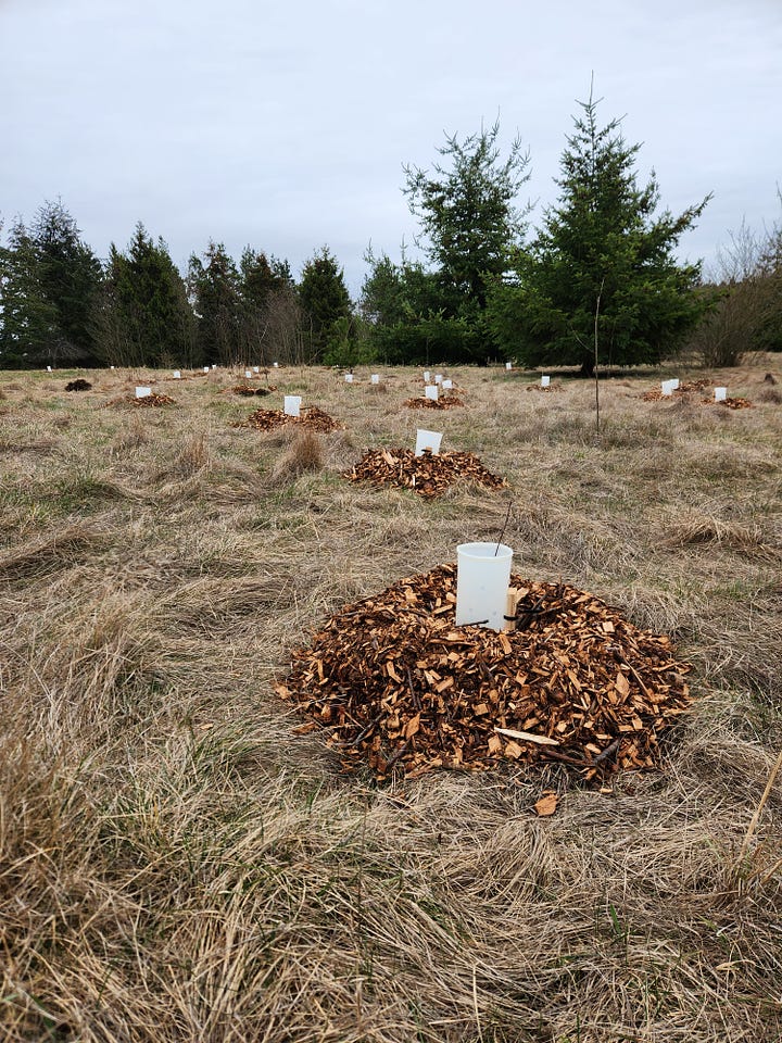
Then, I retreated and took the Upland Trail through former pasture and current forest. Restoration work, no doubt part of the stewardship mission, looked fresh, and I appreciated the signs of wetlands recovering here. The overcast day hid the biggest mountains from view. As I circled around and headed back, I peeked and saw the bay again.
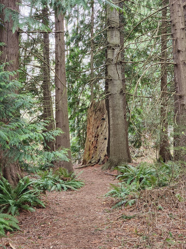
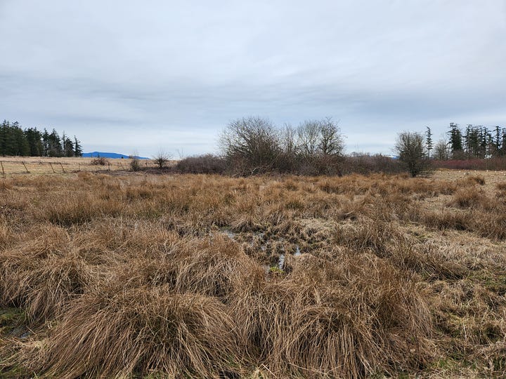
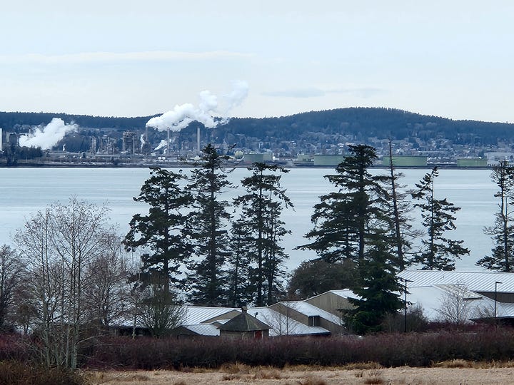
Since moving to this area, signs of the water always settle me.
The work done here – all of it: the education, stewardship, research – is critical. Estuaries are unique, fascinating places and sea-level rise threatens them. As Susan reminded me, there is “no place for estuaries to go.”
Closing Words
The topics covered in this week’s newsletter are mostly new to me, except for how they intersect with other issues of Taking Bearings. So, I have no other, closely related work to point you toward. However, this article on the National Environmental Policy Act of 1970 describes contemporaneous legislation and captures some of the same zeitgeist that produced the NERRs.
As always, you can find my books, and books where some of my work is included, at my Bookshop affiliate page (where, if you order, I get a small benefit).
Taking Bearings Next Week
We head to The Library next week. I am planning to immerse myself in a World War II-era book on conservation to figure out what the public was being taught then. Stay tuned!
Last week was my most-viewed newsletter yet; thank you!
If you enjoyed this one, press the Like button below or leave a Comment. If you know others who might enjoy this weekly newsletter, share it with them. And if you are able, consider upgrading to a paid subscription. Thank you for reading.
Locally, it is pronounced as a rhyme to vanilla, not tortilla, despite its Spanish origin that dates from the 1791 José María Narváez expedition.


Thanks Adam! Another great piece on a local place. I didn't realize how threatened the bay was by that wide variety of development schemes. And I have always wondered why Padilla is not pronounced in the Spanish way.
I hope you delve further (sorry, bad pun) into dykes and drainage ditches because they are such an essential component of the Skagit River Delta as we know it today.