In Small Places, Big Histories
Learning a new local history, raising questions, and glimpsing the future
A Cold, but Dry, Field Trip
I had not quite finished my Christmas shopping.
The temperatures had sunk below freezing. Actually, they edged down around 10.
The roads rolled out below an inch or two of compact snow and ice.
But the forecast showed nothing but rain in the foreseeable future, so I found my longjohns and balaclava, made sure I had my scarf and gloves, and I drove thirty minutes to Kukutali Preserve, along the way passing the fields of rural Skagit County looking perfectly tranquil beneath half a foot of snow. This field trip might be cold but dry, and I prioritized dry.
Kukutali Preserve
The Kukutali Preserve sits on the edge of the Swinomish Reservation, home to the Swinomish Indian Tribal Community. The preserve juts out into Similk Bay to the north and Kiket Bay to the south, arms of Skagit Bay, part of Puget Sound, which is contained within the larger Salish Sea. The Swinomish community co-owns and co-manages the preserve with the Washington State Parks and Recreation Commission.
All told, the preserve amounts to a bit under 100 acres including a parking lot and two small islands (Kiket and Flagstaff), each linked by a narrow tombolo (or sandspit that connects two islands or an island and mainland). Its moderate size meant my freezing walk would not be more than a couple miles at most.
The Swinomish Reservation occupies the eastern part of Shais-quihl, or Fidalgo Island. I crossed over to the island from La Conner (where the county historical museum I wrote about here is) and then crossed the island east to west, noticing crab pots and boats that signified a key economic sector here.
The sea’s bounty feed families – and cultures – as it has since time immemorial.
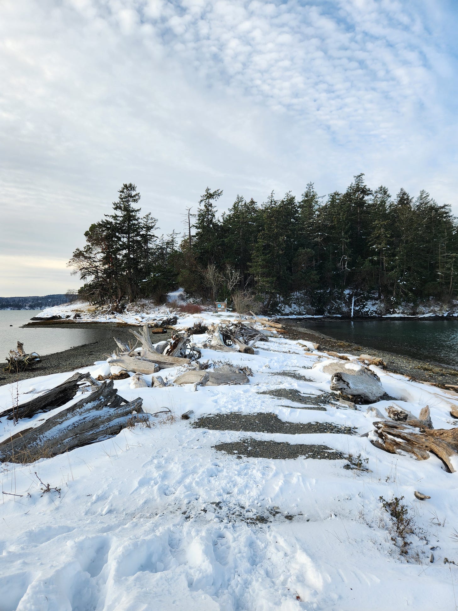
After parking, I trudged down a driveway to get to the first tombolo, to cross from Fidalgo to Kiket Island. A sign there explains that Swinomish ancestors used the tombolo as a portage rather than paddling around the islands.
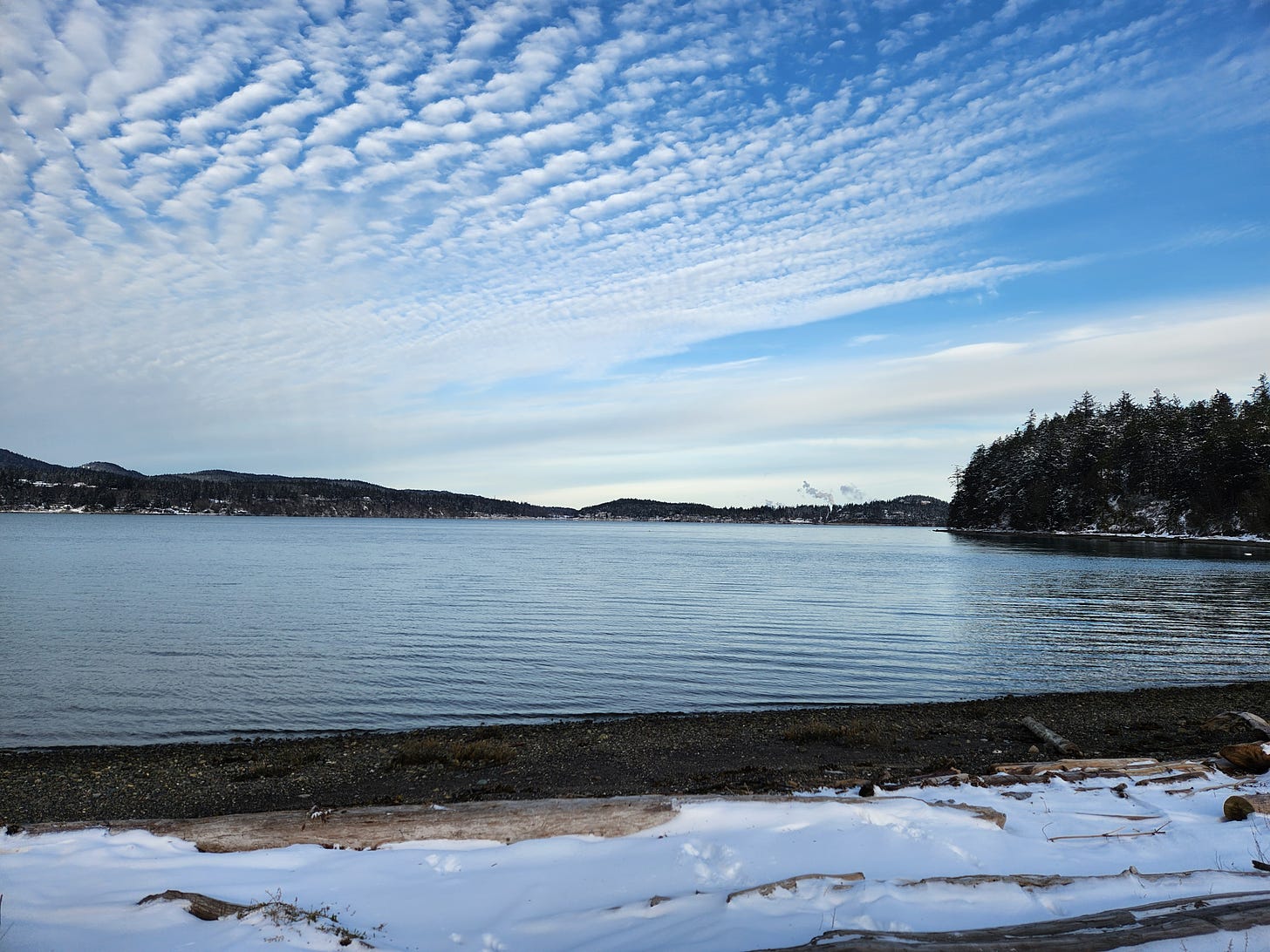
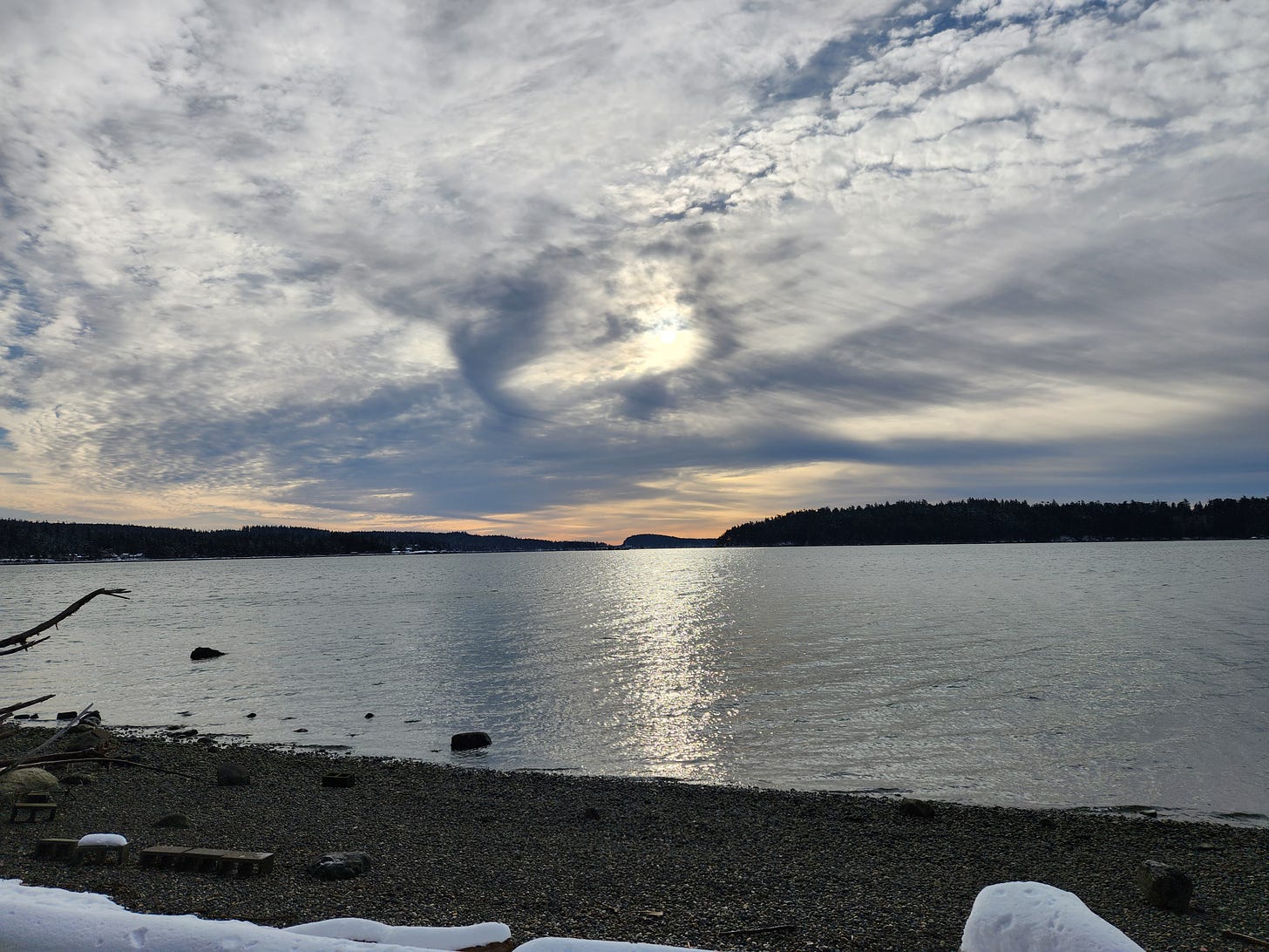
I noticed how much the wind and tides swept away most of the snow in this thin land link. In the southern sky, the midmorning sun seemed to be shredding the clouds and scattering them out, fan-like. In the distant northern sky, I saw steam arising from unseen smokestacks, part of the refineries outside Anacortes that link this county to oil deposits much further north and that fuels our carbon economy. This effluent, visible from my home and seemingly everywhere in this valley, helps orient me in space and time, reminding me of the costs of our current (so-called) civilization.
Names
Across the tombolo, I gently climbed Kiket Island. According to the interpretive sign, “Kiket” is a Sahaptin word from a Nez Perce dialect. (For non-local people, the Nez Perce, or Nimíipuu, mainly live about three hundred miles east of the Swinomish.) Charles Wilkes, who led the US Exploring Expedition (the Ex Ex) between 1838 and 1842 used “Kiket” from a list of words the expedition’s ethnologist, Horatio Hale, gathered in the Northwest. (Hale missed Puget Sound, though.)
Imposing new names on Indigenous places constitutes a key process of colonization. However, this typically involved imposing some British minor royal’s or American political sponsor’s name on a mountain or river. Seeing one Indigenous word, from the area I lived for almost two decades, picked up and plopped down in the area I now live, felt like vertigo.
Kukutali, at least, is place-specific. “Kukutali” means “place of cattail mats.” The island offered a gathering place for harvesting plants and foods. Cattails, or ʔulal in Lushootseed, would be woven into large mats that could be used in versatile ways (see the panel in photo for more details).
Walking the Island
Three trails traverse Kiket Island: North, South, and Kiket. I veered north and climbed just a little; the island’s highpoint is only about 160 feet. Big Douglas firs and cedars reached high, while the madrones with their peeling red bark branches curled this way and that. Burn scars on some trees echoed a past fire. The snow, cold, and windless day made the walk quiet, as though even birds thought better of being out in this weather.
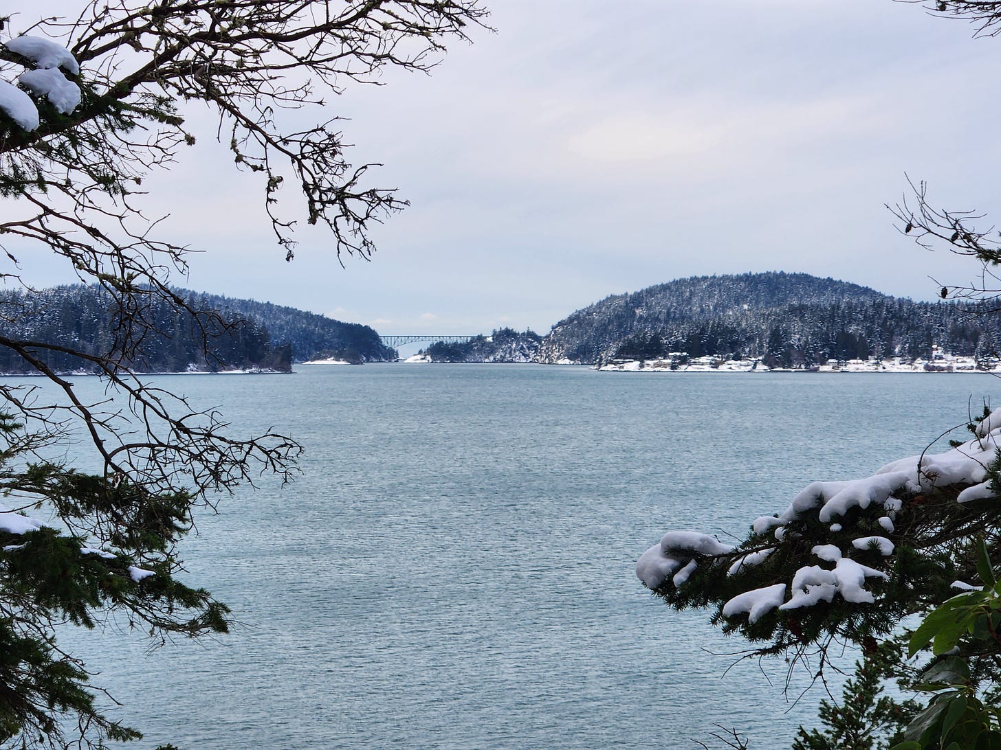
At the west end of the island, an opening in the trees revealed the Deception Pass Bridge, a regional landmark that connects western Fidalgo Island with Whidbey Island. I had never seen the bridge anywhere other than walking or driving over until this year. From a distance, it doesn’t seem quite as impressive as it does up close. Seeing familiar places from unfamiliar vantage points is a practice we might deliberately cultivate.
I dropped down and into an opening, the preserve’s only day-use area, a big open meadow (beneath snow) with a picnic shelter and beach access with animal tracks dotting the ground. Another tombolo connected Kiket Island to Flagstaff Island. This is what I came for, even if I couldn’t cross to the island because of endangered plants and cultural boundaries I respected.
The Swinomish reserved these lands in 1855 Treaty of Point Elliott (the same treaty I discussed at length here). When the Dawes General Allotment Act passed, these places were allotted to Clark and Madeline Cho-ba-hud. In 1928, the land was sold to a consortium that planned to develop a resort. The Great Depression derailed that plan of leisure, but in 1943, a local businessman bought what remained and built a home looking west.
Then came an unusual turn.
Plans for Nuclear Power
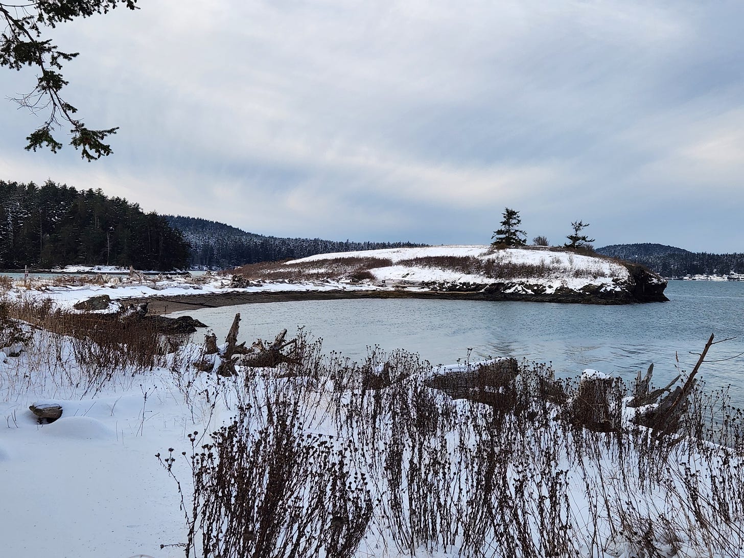
In 1969, Seattle City Light purchased Kukutali, planning to build a nuclear power plant on Flagstaff Island. This unprepossessing little knoll rising up where the waters of Similk and Kiket Bay mingled seemed a strange site for nuclear power. On the other hand, the history of siting dangerous things in non-white communities is long and so probably should not have surprised me.
Until this month, I had not heard of this history, and I have learned only a small amount still. Everyone I asked who lived through those years in this region could not remember it, either. The local communities protested the proposed nuclear plant. Within a few short years, the utility company (which also built dams on the Skagit River that block salmon runs) withdrew, citing scientific studies. My research in similar issues makes me think that neither protest alone nor science alone staves off such enterprises. So questions remain for me. What did the protest look like? Did the Swinomish Indian Tribal Community protest alone? Did the communities along the shore around the bays call in favors in Seattle (or Olympia, the state capital)? What did the science reveal? What economic factors were at play? What about the contemporaneous unfolding disaster of the state’s nuclear power plan with the unfortunate, but apropos, acronym WPPSS (or Whoops!)?
After abandoning the plan, the co-founder of a Chateau Ste. Michelle winery bought the land. During this long history of private ownership, owners prevented the Swinomish from exercising their treaty rights to harvest in the tidelands, a sore point among many injustices. In 2010, the Swinomish Indian Tribal Community and Washington State Parks agreed to be co-owners and co-managers of the preserve, a historic agreement hailed on the signs as first in the nation. The exercise of treaty rights has returned. This marks, I’d wager, a trend that will expand.
The future is here in this historic place.
Walking Away
For me a field trip or a new historical event that raises more questions than can easily be answered fuel my curiosity. And almost nothing makes me happier professionally. So I could turn back from the beach and head back through the woods, this time taking the South Trail and its frequent water views.
Movement above and ahead caught my eye. I paused for a few minutes to watch a great blue heron high in a cedar. Birds this big always look strange to me perched high. Will those branches really hold them, I always wonder. Ten minutes later as I re-crossed the tombolo, a handful of ducks lifted off. Not far behind them, a bald eagle swooped down and dove near the shore, coming up empty. This time.
Final Words
I have few publications that link directly to the topics explored here. However, this article examines the long history of human occupation and removal from an iconic national park. There are parallels amid differences.
As always, you can find my books and books where some of my work is included at my Bookshop affiliate page (where, if you order, I get a small benefit).
Taking Bearings Next Week
The newsletter cycles around to The Library next week, and I’m returning to fiction (always a stretch for me) and a classic piece of southwestern literature. Stay tuned.
In the meantime, thank you for reading and please consider sharing.





Small, round world we inhabit. I was just at Kukutali this afternoon, a place I first came across several years ago. As you write, it is truly beautiful, peaceful and contemplative spot. Thanks for writing about it. Sadly, the snow is now gone, which would be wonderful to see, but we did see and hear 4 Bald Eagles and saw a Belted Kingfisher.
An interesting read, what animal tracks did you observe during you walk?